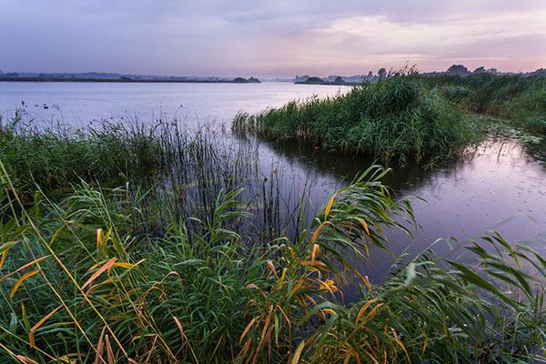
About the area
Between Weert and Budel lies a vast forest and drifting sand area. The ‘Weerter- and Budelerbergen’, ‘Loozerheide’, ‘Ringselven’ and ‘Boshoverheide’ together form an essential part of the GrensPark Kempen~Broek. In this area, you will be surprised by the openness of the drifting sand area, kept open by the military exercises. In the part of the ‘Loozerheide’, there is no military activity and you will find a vast marsh landscape with several fens. This is perfect territory for strolling, you don't even have to stay on the path. Add to that the grazing Taur oxen and Exmoor ponies and the wilderness picture is complete. The area is known for its many birds flying overhead and endless pine forests.
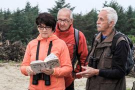
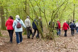
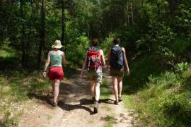
Hiking
You can walk using the ‘Cranendonck’ hiking network. You can create your own walk using the many junctions. These can be found on the ‘Loozerheide’ & ‘Ringselven’ hiking map that can be ordered here.
The map also shows the hiking loops on the ‘Weerterheide’ and the ‘Boshoverheide’!
Parking and accessibility
Parking is possible:
• ‘De Schakel’ community centre, St Barbaraweg 1, Budel-Dorplein
• Urnenveld Boshoverheide, Tranchee (near railway crossing), Weert
• Wildenberg, Eindhovenseweg, Weert